
Thunderstorms are expected to hit a large swathe of France from the southwest to the northeast on Saturday, forecasters have warned, before temperatures briefly dip at the start of the final week of the school holidays.
French national weather service, Météo France, has placed 19 départements on the second-highest ‘orange’ warning for heavy storms from Saturday afternoon.
The départements include: Allier, Ariège, Aveyron, Cantal, Côte-d’Or, Haute-Garonne, Gers, Lot, Haute-Marne, Meurthe-et-Moselle, Meuse, Moselle, Puy-de-Dôme, Hautes-Pyrénées, Haute-Saône, Saône-et-Loire, Tarn, Tarn-et-Garonne and Vosges.
@VigiMeteofrance 23 août
Pour vendredi 23 août 2024 :
Pour samedi 24 août 2024 :
🔶 19 départements en Vigilance orangeRestez prudents et informés :https://t.co/JGz4rTUvHP pic.twitter.com/K8mLSzrY0t
— VigiMétéoFrance (@VigiMeteoFrance) August 23, 2024
On Friday night into Saturday, a rain front is forecast to slide slowly over Brittany, then head slowly to the southwest, accompanied by strengthening winds.
Showers are expected follow behind in northern areas, with Finistère taking the brunt of the rainy conditions.
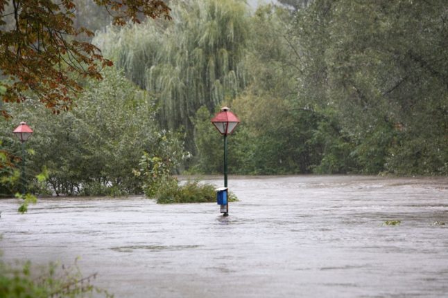
On Saturday, the first starts are expected to start in southern and south-western France, and they could be accompanied by heavy rainfall (30 to 50 mm in just one to two hours), as well as hail locally.
The storms are expected to spread to all other départements on the ‘orange’ alert by the end of the afternoon, with strong gusts possible, getting up to 80 to 100 km/h locally in the south-west. From Auvergne to Burgundy, gusts could reach 90 to 110 km/h.
By evening, the rain front from the north, and the storms from the south are likely to merge, leading to overnight storms in the wide band from the south-west to the north-east.
Une dégradation orageuse pré-frontale est attendue demain samedi entre les Pyrénées et le nord-est du pays avec des #orages pouvant être forts en deuxième partie d’après-midi, soirée et première partie de nuit.
Bulletin moyen terme à lire ici : https://t.co/nXL9FCt43O pic.twitter.com/zTgV3NuScz
— Keraunos (@KeraunosObs) August 23, 2024
These strong thunderstorms are forecast to produce heavy rainfall totals in a short time.
On Sunday morning, the rain front is predicted to pass over the east of the country, with showers limited to the Alps and Pyrenees in the afternoon.
For the rest of the country, the sun is forecast to return, but temperatures will be noticeably cooler than in recent days – except around the Mediterranean, where the mercury is expected to top 30C comfortably.
But the dip in temperatures could be brief.
On Monday, as pressure rises from the west, forecasters expect calm and sunny weather across France, with a risk of thunderstorms over Corsica. Temperatures across the country will generally return to seasonal levels for the final week of the school holidays.
Member comments