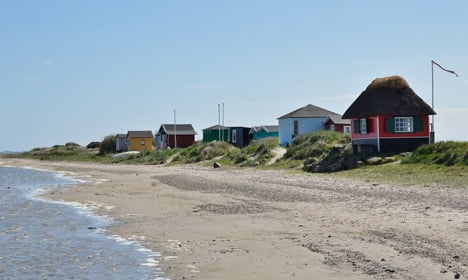
Those looking to attract visitors to Denmark often point out the country’s 7,314 kilometres of coastline. But now it looks like organisations will have to update their promotional material with a new figure.
The Environment Ministry’s Danish Geodata Agency (DGA) has implemented a new and more precise way of measuring Denmark’s coastline and has discovered that the previous estimate was too low.
See also: Copenhagen just got a LOT bigger
Using a map at a 1:10,000 scale rather than the previously-used 1:100,000, the agency found that Denmark actually has 8,750 combined kilometres of coastline – a good 1,436 kilometres longer than previously thought.
But although the tourism industry will likely embrace the larger number – after all, the government recently approved a new strategy of marketing the nation’s combined coastline – the new measurement did little to impress mathematician Anker Tidemann.
See also: Tourism plan focuses on the coasts
“It’s actually an empty gesture. [The measurement] could have been anything. If they would have used a school atlas, it would have been much shorter. And if they would have walked along the coast with a measuring tape, it would have been much longer,” Tidemann told DR.
According to DR, there are no shared international standards for measuring coastlines.
Member comments