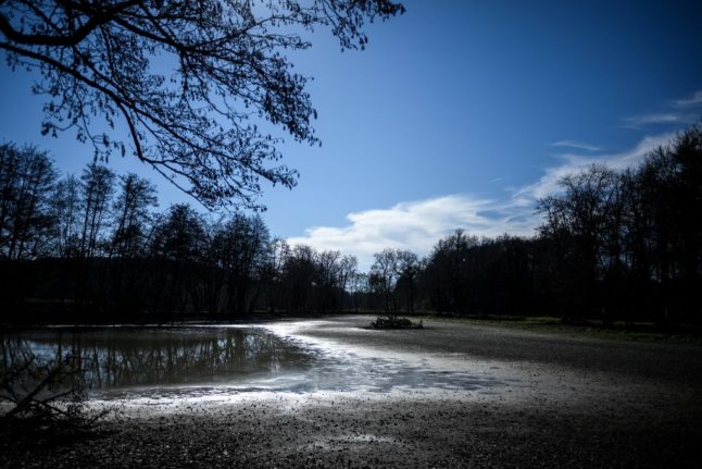
French weather forecaster Météo France has recorded 32 consecutive rain-free days – defined as a day when the average rainfall across France is less than 1mm – the first time this has been seen since records began in 1959.
As of February 20th, the country had only accumulated about 10 percent of its expected precipitation for this time of year, although there is rain forecast for the end of this week.
ANALYSIS How likely are water restrictions in summer 2023?
Hier 19 février 2023 marquait le trentième jour consécutif avec cumul agrégé à l'échelle du pays inférieur à 1 mm (pas de perturbation active ou généralisée).
Le cumul sur ces trente jours est d'un peu plus de 7 mm, soit seulement 10 % de la normale. pic.twitter.com/qUfuns2wrK— Gaétan Heymes (@GaetanHeymes) February 20, 2023
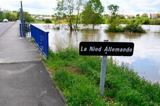
The summer of 2023 saw record-breaking droughts in France, with water restrictions in place across much of the country and huge wildfires in the south west.
Experts now fear the rain-free period in January and February could spell a repeat this summer, although the next three months are crucial.
February 2023 is on track to be one of the driest ever recorded in France, after Europe endured its second-hottest year ever in 2022, with France, Britain, Spain and Italy setting new average temperature records.
READ MORE: Water limits, apps and leaks: How France plans to deal with future droughts
Climatologist Simon Mittelberger told Le Monde that the current lack of rain “is mainly linked to the anticyclonic conditions since the end of January, which have acted as a kind of shield” to stave off rainfall.
🌧️❌ La #pluie n'est pas tombée en France depuis le 21 janvier, soit une série de 31 jours consécutifs (20 février inclus), du jamais vu durant un hiver météorologique.
📊Tous mois confondus, cette série consécutive égale celle de l'année 2020 du 17 mars au 16 avril. pic.twitter.com/poMdhsBGg3
— Météo-France (@meteofrance) February 21, 2023
According to Météo France, the current dryness of the soil across France corresponds to what would be expected in mid-April, meaning it is two months ahead of schedule.
Climate experts anticipate that the country will end the month with a rainfall deficit of over 50 percent, which would make it one of the driest since 1959.
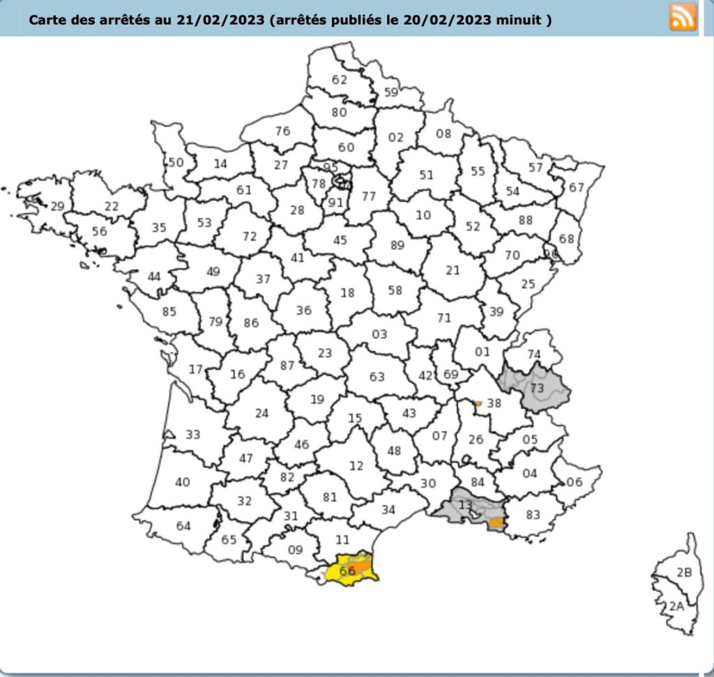
Some parts of the southern part of the country have been placed on the yellow alert, namely in Pyrenees-Orientales.
This means that agricultural water usage is more tightly regulated, and watering gardens, golf courses, and washing cars is restricted to certain times. You can find more specific information for the Pyrenees-Orientales département HERE.
Concerns for the summer
Météo France told Le Monde that the country is “experiencing a worrying meteorological drought”, as winter rainfall is crucial to help recover lost groundwater ahead of the summer.
Last month was the third-warmest January on record in Europe, with temperatures on New Year’s Day reaching all-time highs in some parts of the continent, according to the European Union’s Copernicus climate monitor (C3S).
Farmers are also worried about low precipitation levels this winter. In the Rhone Valley, there has not been any significant rainfall since December 15th, according to TF1.
This has caused farmers to be concerned about potentially lower yields this year, as some plants, like wheat, cannot grow properly with the lack of water.
“To maintain these plants, you don’t need much, but you can’t leave them without a drop of water. At this time of year, zero rainfall is really detrimental,” Jean-Pierre Royannez, farmer and president of the Drôme Chamber of Agriculture, told TF1.
Climatologists have said that the next three months will be “decisive”, particularly in determining ground water availability for the summer.
Member comments