SHARE
COPY LINK

WEATHER

Germany braces for blast of snow and freezing temperatures

An icy blast from the north is set to hit Germany at the weekend, bringing with it a fresh blanket of snow and temperatures in the minus double-digits.

Snow in the Bavarian mountains
Snow in the popular Mittelgebirge region of Bavaria. Photo: picture alliance/dpa | Karl-Josef Hildenbrand

If you’ve already packed away your winter jacket for the year, get ready to dig it out again: Germany is set for a wintry blast of snow and ice that could see temperatures drop as low as -11C. 

After weeks of mild temperatures and torrential rainfall in northern and central Germany, icy winds entering from Scandinavia could cause temperatures to plummet for several days on end.

“We are facing an intrusion of polar air this weekend,” explained wetter.com meteorologist Georg Haas. “It will snow a lot in some regions and then get bitterly cold in Germany.”

According to experts, the fresh coating of snow won’t only arrive in the higher-altitude regions. In fact, from Brandenburg to Baden-Württemberg, people in the flatter landscapes should see at least a little bit of snowfall.

On Thursday morning, colder temperatures had already arrived in Hamburg and Schleswig-Holstein, which have battling heavy rain and flooding in recent days.

By Friday, however, this heavy rain is set to turn to snowfall, particularly near the Danish border and along the Elbe.

Closer to the weekend, the frosty chill will move south through Germany and is likely to bring snowfall between Hamburg and Berlin. 

For residents of Berlin, as well as in western and central Germany, a mixture of heavy sleet, hail and snow will fall over the weekend.

READ ALSO: German flood-hit areas struggle with more rainfall

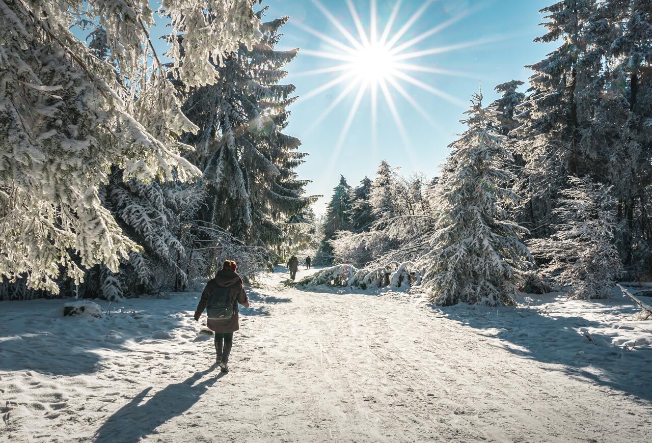
Temperatures will sway between highs of 3C and lows of -8C, so wrap up warm if you’re heading out and about. 

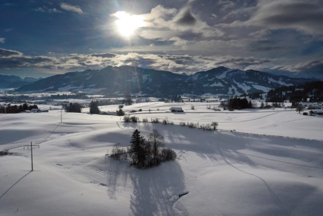
Once the polar blast moves the southern regions of the country on Saturday and Sunday, Baden-Württemberg and Bavaria can expect to see the landscapes transformed into a winter wonderland.

Snow in Feldberg

A woman hikes through a snowy forest in Feldberg, Baden-Württemberg. Photo: Raja Sen/Unsplash

In Bavaria in particular, snowfall of between 20cm and 30cm is expected in the higher altitudes, but people in Munich will also see a smattering of white.

The picture is similar in Baden-Württemberg, where both the lowlands and the highlands will enjoy fresh snowfall over the weekend and into next week.

Though winter has returned to Germany suddenly, it’s unlikely to exit as quickly as it came: weather experts predict that the cold spell and minus-degree temperatures could remain for the coming weeks. 

Not all snow-lovers in Germany will see white flakes coating the ground this time around, unfortunately, but meteorologists say there could be even more coming around mid-January. 

Member comments

Log in here to leave a comment.
Become a Member to leave a comment.

WEATHER

Severe weather warnings issued as Germany braces for more storms

Extreme weather warnings for heavy rainfall remain in place in parts of Germany on Friday following flooding in the south. There is also a chance of thunderstorms at the weekend.

Severe weather warnings issued as Germany braces for more storms

Severe weather is expected in the southwest of the country on Friday, with the heaviest rain expected in Saarbrücken, as well as the surrounding areas of Saarland and southern Rhineland-Palatinate.

In these areas Germany’s weather service (DWD) has level 4 warnings in place – meaning that the rain is expected to be extremely heavy (more than 40 litres per square metre in an hour, or 60 litres per square metre in 6 hours).

Slightly less severe, but still heavy continuous rain can also be expected in the surrounding regions, extending as far as Stuttgart and Mainz.

Speaking to Bild newspaper, Climatologist Dr. Karsten Brandt suggested that the heavy precipitation and thunderstorms will continue to move northwest, even into southern North-Rhine Westphalia (Aachen).

There are also wind warnings in parts of the country, with squalls expected on the Brocken and the Fichtelberg mountains, as well as in the Black Forest and in the Alps.

Currently, the highest wind warnings are in Dresden and southern Bavaria near the Alps.

Friday’s weather warnings come in the wake of chaotic weather that flooded Nuremberg and parts of Bavaria Thursday night, where many roads flooded. Cars were submerged in water and bus routes were cancelled.

A number of household cellars also flooded as well as a large underground car park at the Technical University.

READ ALSO: Record heat deaths and floods – How Germany is being hit by climate change

What will the weekend bring?

Beyond the area of severe weather warnings but not beyond the reach of the storm, Cologne will have some rain on Friday which may continue on through the weekend.

Germany’s northern and eastern regions have dodged the recent bout of storms so far, but in Berlin scattered thunderstorms can be expected to move in by Sunday afternoon. This may put a dampener on the Karneval der Kulturen parade. 

In Bremen and Hamburg, residents can expect some rain showers on Sunday and Monday, with a chance of thunderstorms as well.

In Munich and Nuremberg, it looks as if the worst is over. Some small showers may continue into Saturday, but Bavarian residents can look forward to a sunny Sunday ahead of the public holiday on Monday for Pentecost. 

READ ALSO:

SHOW COMMENTS